About Geo-Tech Systems
The history of Geo-Tech Systems Limited dates back to July 1998 when the company was formed to respond to the Geo Spatial needs of a country that was developing at a fast pace and to help bridge the gap between West Africa and the international community through the introduction of innovative solutions for the development of a Geo Spatial data infrastructure.
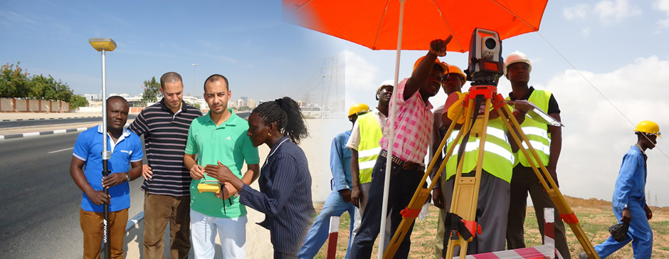
The name Geo-Tech is derived from GEOMATICS TECHNOLOGY as the company seeks to provide innovative solutions in the collection, storing, and processing of Geographic or spatial information. At Geo-Tech, our Geo Spatial solutions cover the following sectors: Mobile Mapping, Machine Control, Meteorology, Mapping & GIS, Construction, Survey, Agriculture, Earth Quake & Dam Monitoring. We also provide allied services such as Institutional training and Capacity Building in Geo-Information and Land Management and our activities extend beyond the Ghanaian borders.
The company has grown and diversified its portfolio which has enabled it to become a leading provider of top notch positioning solutions. A thirst for innovation, combined with an enthusiastic sense of entrepreneurship and an untiring dedication to quality products and services is what has kept Geo-Tech's vision alive throughout the years.
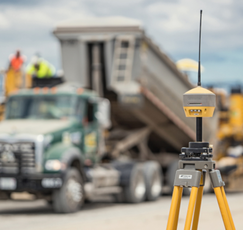
Geo-Tech Systems Limited is considered a leading company with experienced personnel, sophisticated equipment and cutting edge technologies.


